The
Quarter
City district 03, 4.3 km², three areas, one collective identity. From Klenze's Ludwigstraße to the red-brick halls of the Krauss locomotive works.
Where the quarter begins — and ends
Today's district 3 Maxvorstadt emerged in 1992 from an administrative reform in which the city council reduced its 41 districts to 24. Since then the Maxvorstadt has combined the historic districts 5, 6 and 7 — including the old Schönfeldvorstadt.
In the east it begins at Odeonsplatz and extends along Galeriestraße to Königinstraße. In the north it runs along Schackstraße over Leopoldstraße to Georgenstraße. In the west it is bordered by Lothstraße, Maillingerstraße, Marsstraße and Helmholtzstraße. In the south it is the railway tracks, Arnulfstraße and Prielmayerstraße up to Lenbachplatz. From there it runs via Maximiliansplatz and Briennerstraße back to Odeonsplatz.
Until 1909 the Maxvorstadt in the north even reached as far as Hohenzollernstraße — thereby including parts of today's Schwabing that were then regarded as the centre of "Schwabing" bohème. When Kandinsky moved to Ainmillerstraße in 1906, he was living in the Maxvorstadt.
Three characters, one district
At first glance the Maxvorstadt does not present itself as a homogeneous district today. In the west, the arterial roads Seidlstraße and Dachauer Straße cut off the industrial, brewery-shaped part so sharply that it is generally felt to belong to Neuhausen.
The area around Karl-, Gabelsberger- and Schleißheimer Straße up to the main station is still shaped by station proximity. The area around Maximiliansplatz, with its discos, belongs to Munich's kilometre-long party mile. The generous art quarter with the Pinakotheken contrasts with the dense residential building towards Schwabing. And the universities, with their tens of thousands of students, set their own stamp on the quarter around Geschwister-Scholl-Platz.
The quarter
in three parts.
Quarter
Where Klenze, Gärtner and Ludwig I. thought monumentally and where students fill the Türkenstraße today. The central axis: the Ludwigstraße.
- Ludwigstraße & Ludwig Maximilian University
- Siegestor (1850) · Feldherrnhalle
- Leuchtenberg-Palais · Prinz-Carl-Palais
- Theatre Museum · Academy of Fine Arts
- Türkenstraße, Schellingstraße, Amalienstraße
- English Garden (western edge)
Quarter & TU
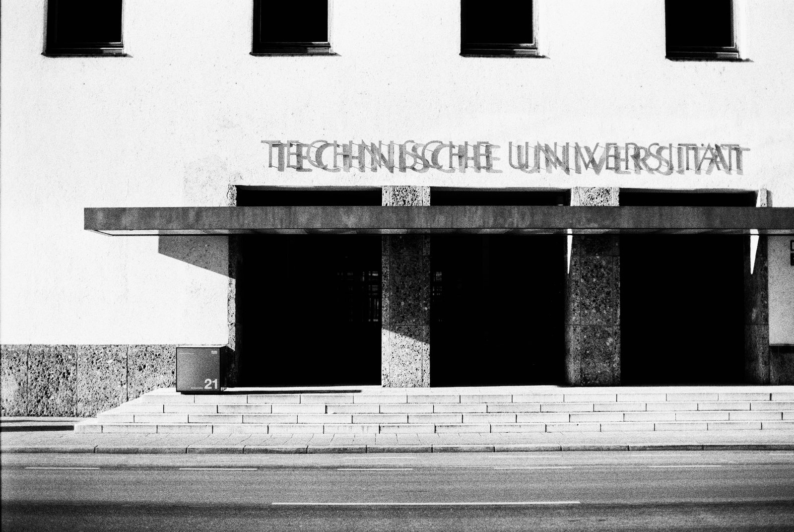
The art quarter around Königsplatz — Klenze's "Athens on the Isar" — and the Technical University. Plus: the former NSDAP party quarter.
- Königsplatz · Glyptothek · Antikensammlungen · Propyläen
- Alte, Neue, Moderne Pinakothek · Museum Brandhorst
- Lenbachhaus & Kunstbau
- NS Documentation Centre (former Brown House)
- Old Botanical Garden · TU Munich
- Karolinenplatz with Obelisk (1833)
Marsfeld
The industrial west — once parade ground and execution site, today Bavarian Broadcasting, Circus Krone and Augustiner-Bräu.
- Bavarian Broadcasting · Circus Krone
- Augustiner-Bräu · Löwenbräukeller
- Marsplatz · Tax offices · State Criminal Police
- Arnulfpark with Marlene-Dietrich-Straße
- Hackerbrücke and Donnersbergerbrücke
- Former bronze foundry & Krauss-Maffei works
The Maxvorstadt,
to scale.
Interactive map of all buildings and squares. Red dot: buildings and museums. Black dot with red ring: Nazi-era sites. Click a marker for the detail page.
Who lives here
As of 31 December 2024, 52,434 people lived in the city district — about 3,500 more than in 2010. Just under three quarters hold German citizenship; the share of 20- to 30-year-olds is above average: the "Schwabing" factor draws people in. With 67.7 % single-person households the Maxvorstadt remains the single-person district par excellence in the single-person metropolis Munich — the highest figure across all 25 city districts.
Turnover is correspondingly high. With its unemployment rate, the Maxvorstadt sits below the Munich average of 4.5 % (as of 2023) and is therefore among the most economically stable quarters of the city — together with Altstadt-Lehel and Bogenhausen. Demographically the quarter is ageing slightly (plus 1.3 years in the median), but stays comparatively young thanks to the three universities.
Who works here
The universities — LMU, TU, the University of Music and Performing Arts, the Munich School of Philosophy, the Bavarian School of Public Policy, the Academy of Fine Arts — bring around 100,000 students and their teaching staff into the quarter every day. In addition: the Bavarian regional Bundesbank, the Bavarian Main State Archive, three ministries on Ludwigstraße, publishing houses, galleries, advertising and architecture firms.
The Bavarian State Criminal Police has been based at Maillingerstraße 15 since 1962 — where the artillery barracks, destroyed in the war, previously stood. With about 1,600 employees.
Read on
- / 01Martin Arz · It’s So Munich!
- / 02Stadtarchiv München / Michael Stephan · Maxvorstadt. Zeitreise ins alte München
Arz presents Munich as a web of distinctive quarters; the Stadtarchiv’s photographic “time travel” adds the historical images of the Maxvorstadt.